
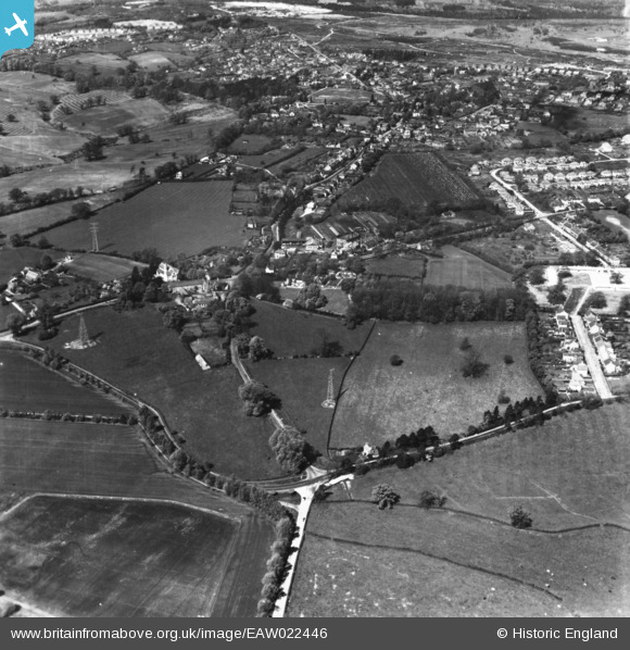
EAW022446 ENGLAND (1949). Farnborough Road, Upper Hale Road and environs, Farnham, 1949. This image has been produced from a print.
© Copyright OpenStreetMap contributors and licensed by the OpenStreetMap Foundation. 2026. Cartography is licensed as CC BY-SA.
Nearby Images (8)
EAW022446

EAW022447

EAW022445

EAW015548

EAW015550

EAW015547

EAW015549

EAW015551

Details
| Title | [EAW022446] Farnborough Road, Upper Hale Road and environs, Farnham, 1949. This image has been produced from a print. |
| Reference | EAW022446 |
| Date | 22-April-1949 |
| Link | |
| Place name | FARNHAM |
| Parish | FARNHAM |
| District | |
| Country | ENGLAND |
| Easting / Northing | 485069, 148458 |
| Longitude / Latitude | -0.78153670203174, 51.2284488533 |
| National Grid Reference | SU851485 |
Pins

Matt Aldred edob.mattaldred.com |
Tuesday 9th of March 2021 02:59:47 PM | |
|
Matt Aldred edob.mattaldred.com |
Tuesday 9th of March 2021 02:58:58 PM | |
|
Matt Aldred edob.mattaldred.com |
Tuesday 9th of March 2021 02:58:42 PM | |

flubber |
Friday 26th of January 2018 07:00:13 PM | |
|
flubber |
Friday 26th of January 2018 06:57:57 PM | |
|
flubber |
Friday 26th of January 2018 06:57:31 PM | |
|
jrussill |
Wednesday 13th of May 2015 02:49:04 PM | |
|
jrussill |
Wednesday 13th of May 2015 02:48:10 PM | |
|
jrussill |
Wednesday 13th of May 2015 02:47:38 PM | |
|
flubber |
Monday 22nd of September 2014 03:06:14 PM | |
|
flubber |
Monday 22nd of September 2014 03:05:26 PM | |
|
flubber |
Monday 22nd of September 2014 03:03:40 PM | |
|
pastwatcher |
Thursday 18th of September 2014 11:16:58 PM | |
|
pastwatcher |
Thursday 18th of September 2014 11:08:44 PM |
User Comment Contributions

WW2 Pillboxes |
jrussill |
Wednesday 13th of May 2015 03:13:15 PM |