
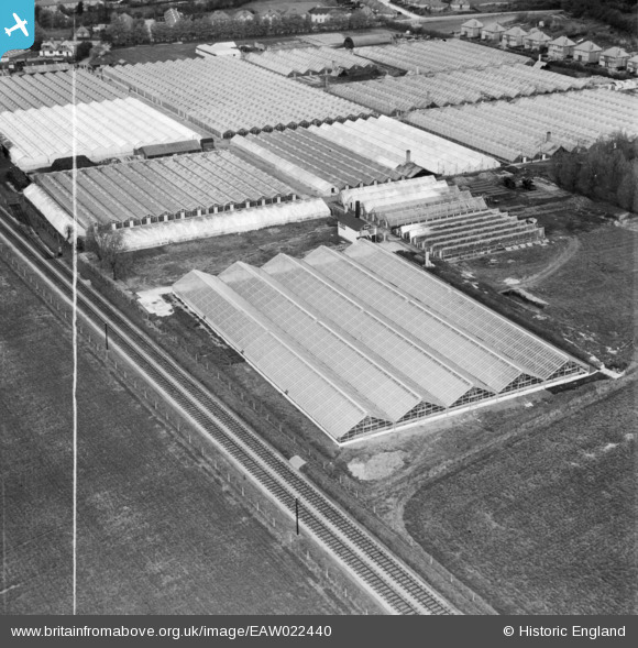
EAW022440 ENGLAND (1949). Tadburn Nursery, Romsey, 1949. This image was marked by Aerofilms Ltd for photo editing.
© Copyright OpenStreetMap contributors and licensed by the OpenStreetMap Foundation. 2026. Cartography is licensed as CC BY-SA.
Nearby Images (15)
EAW022440

EAW022439

EAW022435

EAW022433

EAW022437

EAW022434

EAW022432

EAW022436

EAW022438

EAW021855

EAW021853

EAW021851

EAW021854

EAW021852

EAW021850

Details
| Title | [EAW022440] Tadburn Nursery, Romsey, 1949. This image was marked by Aerofilms Ltd for photo editing. |
| Reference | EAW022440 |
| Date | 22-April-1949 |
| Link | |
| Place name | ROMSEY |
| Parish | ROMSEY |
| District | |
| Country | ENGLAND |
| Easting / Northing | 436235, 120799 |
| Longitude / Latitude | -1.483724757489, 50.984910264195 |
| National Grid Reference | SU362208 |
Pins
Be the first to add a comment to this image!