
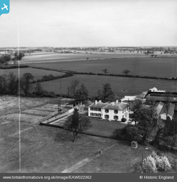
EAW022362 ENGLAND (1949). Patmore Hall, Patmore Heath, from the south-west, 1949. This image was marked by Aerofilms Ltd for photo editing.
© Copyright OpenStreetMap contributors and licensed by the OpenStreetMap Foundation. 2025. Cartography is licensed as CC BY-SA.
Nearby Images (4)
EAW022362

EAW022361

EAW022364

EAW022363

Details
| Title | [EAW022362] Patmore Hall, Patmore Heath, from the south-west, 1949. This image was marked by Aerofilms Ltd for photo editing. |
| Reference | EAW022362 |
| Date | 19-April-1949 |
| Link | |
| Place name | PATMORE HEATH |
| Parish | ALBURY |
| District | |
| Country | ENGLAND |
| Easting / Northing | 545124, 225649 |
| Longitude / Latitude | 0.11004101898093, 51.910007016216 |
| National Grid Reference | TL451256 |
Pins
Be the first to add a comment to this image!