
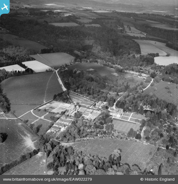
EAW022279 ENGLAND (1949). Wakehurst Place, Ardingly, 1949
© Copyright OpenStreetMap contributors and licensed by the OpenStreetMap Foundation. 2026. Cartography is licensed as CC BY-SA.
Nearby Images (4)
EAW022279

EAW022278

EAW022281

EAW022280

Details
| Title | [EAW022279] Wakehurst Place, Ardingly, 1949 |
| Reference | EAW022279 |
| Date | 18-April-1949 |
| Link | |
| Place name | ARDINGLY |
| Parish | ARDINGLY |
| District | |
| Country | ENGLAND |
| Easting / Northing | 534058, 131557 |
| Longitude / Latitude | -0.08649409697647, 51.067137330075 |
| National Grid Reference | TQ341316 |
Pins

M Anton |
Thursday 12th of December 2019 08:25:18 AM | |

Alan McFaden |
Tuesday 24th of December 2013 10:34:48 PM | |
|
Alan McFaden |
Tuesday 24th of December 2013 10:34:00 PM | |
|
Alan McFaden |
Tuesday 24th of December 2013 10:33:30 PM |


User Comment Contributions
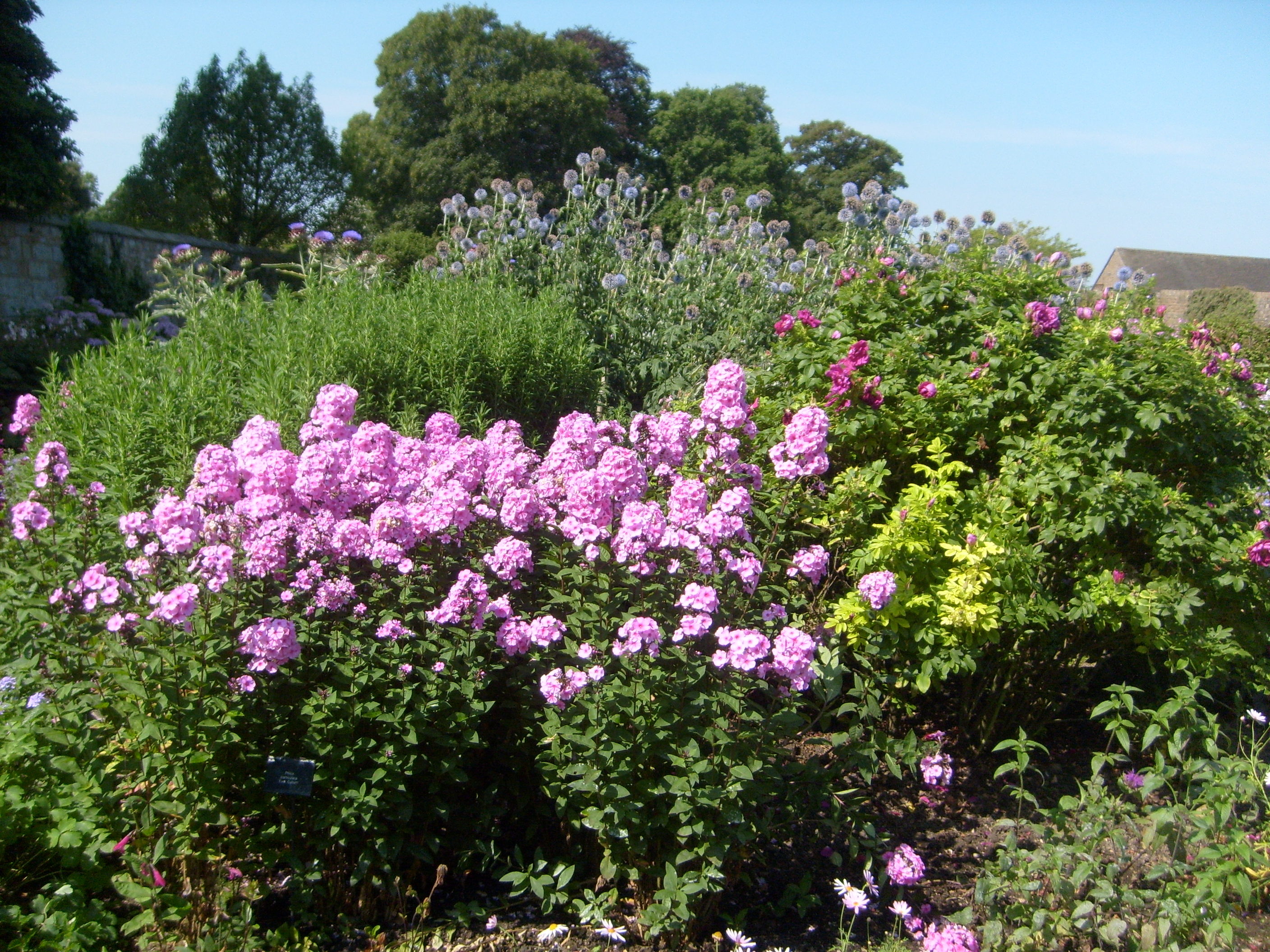
Wakehurst Place, 03/08/2011 |

Class31 |
Wednesday 7th of January 2015 02:41:32 PM |
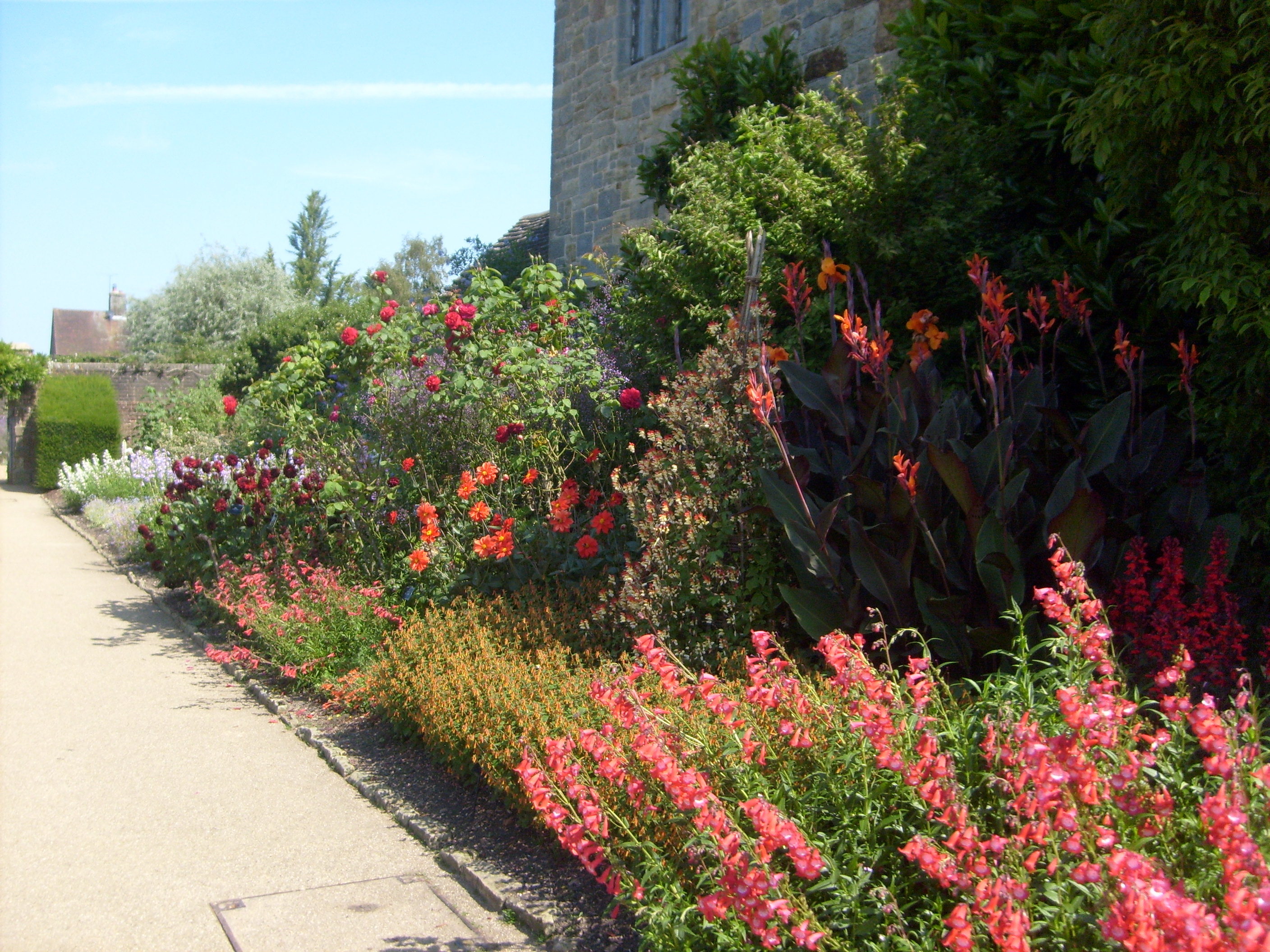
Wakehurst Place, 03/08/2011 |
Class31 |
Wednesday 7th of January 2015 02:41:11 PM |

Wakehurst Place, 03/08/2011 |
Class31 |
Wednesday 7th of January 2015 02:40:48 PM |
Wakehurst Place, 03/08/2011 |
Class31 |
Wednesday 7th of January 2015 02:40:12 PM |

Wakehurst Place, 03/08/2011 |
Class31 |
Saturday 20th of September 2014 09:16:52 AM |