
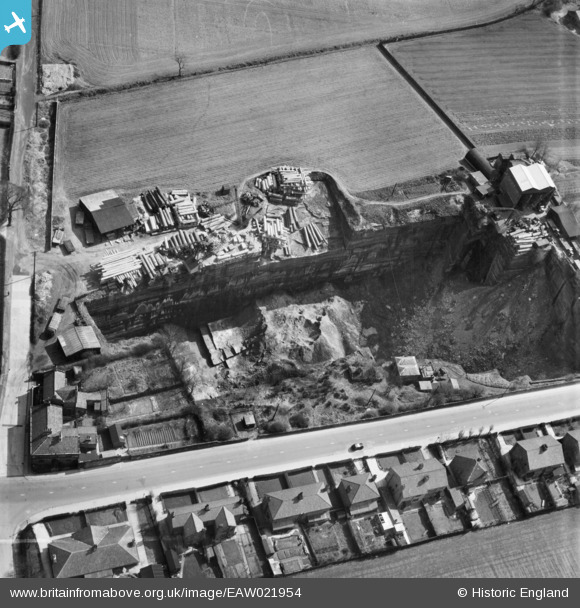
EAW021954 ENGLAND (1949). Holt Lane Quarry, Whiston, 1949
© Copyright OpenStreetMap contributors and licensed by the OpenStreetMap Foundation. 2026. Cartography is licensed as CC BY-SA.
Nearby Images (3)
EAW021954

EAW021952

EAW021953

Details
| Title | [EAW021954] Holt Lane Quarry, Whiston, 1949 |
| Reference | EAW021954 |
| Date | 9-April-1949 |
| Link | |
| Place name | WHISTON |
| Parish | WHISTON |
| District | |
| Country | ENGLAND |
| Easting / Northing | 348026, 392370 |
| Longitude / Latitude | -2.7822456209744, 53.42530049266 |
| National Grid Reference | SJ480924 |
Pins
Be the first to add a comment to this image!