
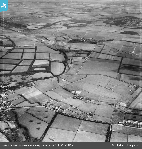
EAW021819 ENGLAND (1949). Brickfields Stud, Newmarket, from the south-west, 1949
© Copyright OpenStreetMap contributors and licensed by the OpenStreetMap Foundation. 2026. Cartography is licensed as CC BY-SA.
Nearby Images (6)
EAW021819

EAW021820

EAW021823

EAW021821

EAW021824

EAW021822

Details
| Title | [EAW021819] Brickfields Stud, Newmarket, from the south-west, 1949 |
| Reference | EAW021819 |
| Date | 9-April-1949 |
| Link | |
| Place name | NEWMARKET |
| Parish | NEWMARKET |
| District | |
| Country | ENGLAND |
| Easting / Northing | 562811, 265275 |
| Longitude / Latitude | 0.38589685113845, 52.261113021232 |
| National Grid Reference | TL628653 |
Pins
Be the first to add a comment to this image!