
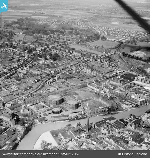
EAW021786 ENGLAND (1949). Buckland Road and environs, Maidstone, from the south-east, 1949
© Copyright OpenStreetMap contributors and licensed by the OpenStreetMap Foundation. 2026. Cartography is licensed as CC BY-SA.
Nearby Images (15)
EAW021786

EAW021790

EAW021789

EAW021787

EAW021785

EAW021788

EAW021791

EPW005634

EPW005635

EPW005631

EAW021784

EPW026066

EPW009208

EPW009219

EPW026067

Details
| Title | [EAW021786] Buckland Road and environs, Maidstone, from the south-east, 1949 |
| Reference | EAW021786 |
| Date | 9-April-1949 |
| Link | |
| Place name | MAIDSTONE |
| Parish | |
| District | |
| Country | ENGLAND |
| Easting / Northing | 575638, 155774 |
| Longitude / Latitude | 0.51829840385827, 51.273495706297 |
| National Grid Reference | TQ756558 |
Pins

Sparky |
Sunday 4th of December 2022 09:15:39 PM | |

Library Lil |
Thursday 21st of May 2020 01:27:08 PM | |
|
Sparky |
Friday 7th of July 2017 10:04:23 PM | |
|
Paul Noel |
Tuesday 1st of July 2014 02:57:50 PM | |
|
Mike Floate |
Saturday 31st of May 2014 08:58:45 PM |