
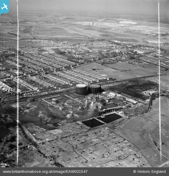
EAW021547 ENGLAND (1949). Hilsea Gas Works, Copnor and environs, Anchorage Park, from the south-east, 1949. This image was marked by Aerofilms Ltd for photo editing.
© Copyright OpenStreetMap contributors and licensed by the OpenStreetMap Foundation. 2026. Cartography is licensed as CC BY-SA.
Nearby Images (4)
EAW021547

EAW021549

EAW021546

EAW021550

Details
| Title | [EAW021547] Hilsea Gas Works, Copnor and environs, Anchorage Park, from the south-east, 1949. This image was marked by Aerofilms Ltd for photo editing. |
| Reference | EAW021547 |
| Date | 21-March-1949 |
| Link | |
| Place name | ANCHORAGE PARK |
| Parish | |
| District | |
| Country | ENGLAND |
| Easting / Northing | 466639, 102715 |
| Longitude / Latitude | -1.0538800981334, 50.819578080563 |
| National Grid Reference | SU666027 |
Pins

Matt Aldred edob.mattaldred.com |
Monday 30th of November 2020 09:21:57 PM |