
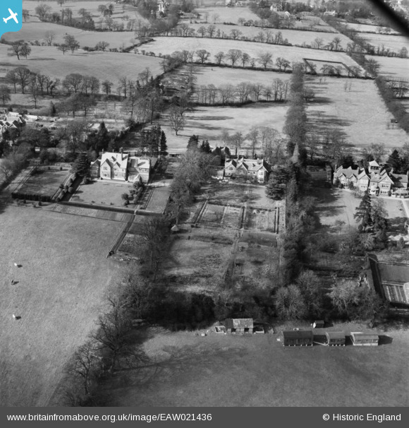
EAW021436 ENGLAND (1949). Abbots Mead and other properties on Barnet Lane, Elstree, 1949
© Copyright OpenStreetMap contributors and licensed by the OpenStreetMap Foundation. 2026. Cartography is licensed as CC BY-SA.
Nearby Images (5)
EAW021436

EAW047986

EAW047987

EAW021435

EAW023707

Details
| Title | [EAW021436] Abbots Mead and other properties on Barnet Lane, Elstree, 1949 |
| Reference | EAW021436 |
| Date | 15-March-1949 |
| Link | |
| Place name | ELSTREE |
| Parish | ELSTREE AND BOREHAMWOOD |
| District | |
| Country | ENGLAND |
| Easting / Northing | 518740, 195103 |
| Longitude / Latitude | -0.28381254497291, 51.641709791896 |
| National Grid Reference | TQ187951 |
Pins
Be the first to add a comment to this image!