
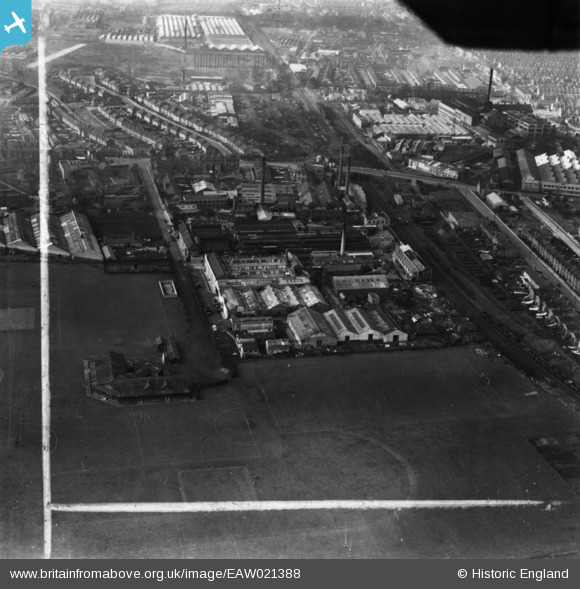
EAW021388 ENGLAND (1949). The James Ferguson and Sons Ltd Lea Park Works and environs, Collier's Wood, 1949. This image has been produced from a print marked by Aerofilms Ltd for photo editing.
© Copyright OpenStreetMap contributors and licensed by the OpenStreetMap Foundation. 2026. Cartography is licensed as CC BY-SA.
Nearby Images (27)
EAW021388

EAW021386

EAW021389

EAW021385

EAW021387

EAW021391

EAW021529

EAW021524

EAW021390

EAW021527

EAW021384

EAW021523

EAW021528

EAW005282

EAW005288

EAW005280

EAW021530

EAW021526

EAW021525

EAW005287

EAW005284

EPW010770

EAW005286

EAW005283

EAW005281

EAW004934

EAW005285

Details
| Title | [EAW021388] The James Ferguson and Sons Ltd Lea Park Works and environs, Collier's Wood, 1949. This image has been produced from a print marked by Aerofilms Ltd for photo editing. |
| Reference | EAW021388 |
| Date | 15-March-1949 |
| Link | |
| Place name | COLLIER'S WOOD |
| Parish | |
| District | |
| Country | ENGLAND |
| Easting / Northing | 527035, 169942 |
| Longitude / Latitude | -0.17306242990903, 51.413753241181 |
| National Grid Reference | TQ270699 |
Pins
Be the first to add a comment to this image!