
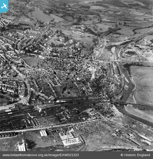
EAW021323 ENGLAND (1949). The railway station, Osborne Park and environs, Newton Abbot, 1949. This image has been produced from a damaged negative.
© Copyright OpenStreetMap contributors and licensed by the OpenStreetMap Foundation. 2026. Cartography is licensed as CC BY-SA.
Nearby Images (12)
EAW021323

EAW021325

EAW021327

EAW021320

EAW021321

EAW021318

EAW021326

EAW021317

EAW021324

EAW021319

EAW021322

EPW039816

Details
| Title | [EAW021323] The railway station, Osborne Park and environs, Newton Abbot, 1949. This image has been produced from a damaged negative. |
| Reference | EAW021323 |
| Date | 9-March-1949 |
| Link | |
| Place name | NEWTON ABBOT |
| Parish | NEWTON ABBOT |
| District | |
| Country | ENGLAND |
| Easting / Northing | 286586, 71604 |
| Longitude / Latitude | -3.6004533886394, 50.532609462584 |
| National Grid Reference | SX866716 |
Pins
Be the first to add a comment to this image!