
EAW021096 ENGLAND (1949). Brewer Street and environs, Westminster, 1949. This image has been produced from a print.

© Copyright OpenStreetMap contributors and licensed by the OpenStreetMap Foundation. 2026. Cartography is licensed as CC BY-SA.
Nearby Images (48)
EAW021096

EAW000482

EAW022145

EAW000486

EAW021104

EAW021095

EAW021106

EAW021094

EAW021105

EAW000487

EAW049019

EPW030037

EAW022146

EPW030038

EAW030299

EPW055353

EAW000483

EPW008319

EPW005902

EAW030301

EPW005136

EAW022144

EAW030300

EAW005245

EAW022143

EPW018116

EPW009014

EAW000489

EPW005901

EPW024756

EAW030298

EAW030302

EPW021942

EAW030297

EPW055348

EPW018106

EPW021400

EPW055356

EAW048554

EPW021883

EAW021097

EAW035652

EPW020946

EPW021944

EPW018118

EPW030072

EAW028800

EAW000481

Details
| Title | [EAW021096] Brewer Street and environs, Westminster, 1949. This image has been produced from a print. |
| Reference | EAW021096 |
| Date | 22-February-1949 |
| Link | |
| Place name | WESTMINSTER |
| Parish | |
| District | |
| Country | ENGLAND |
| Easting / Northing | 529504, 180805 |
| Longitude / Latitude | -0.13359508942799, 51.510829045331 |
| National Grid Reference | TQ295808 |
Pins

Alan McFaden |
Thursday 4th of September 2014 09:18:16 AM | |
|
Alan McFaden |
Thursday 4th of September 2014 09:15:31 AM | |
|
Alan McFaden |
Thursday 4th of September 2014 09:14:50 AM | |
|
Alan McFaden |
Thursday 4th of September 2014 09:14:09 AM | |
|
Alan McFaden |
Thursday 4th of September 2014 09:12:13 AM | |
|
Alan McFaden |
Thursday 4th of September 2014 09:11:32 AM |


User Comment Contributions
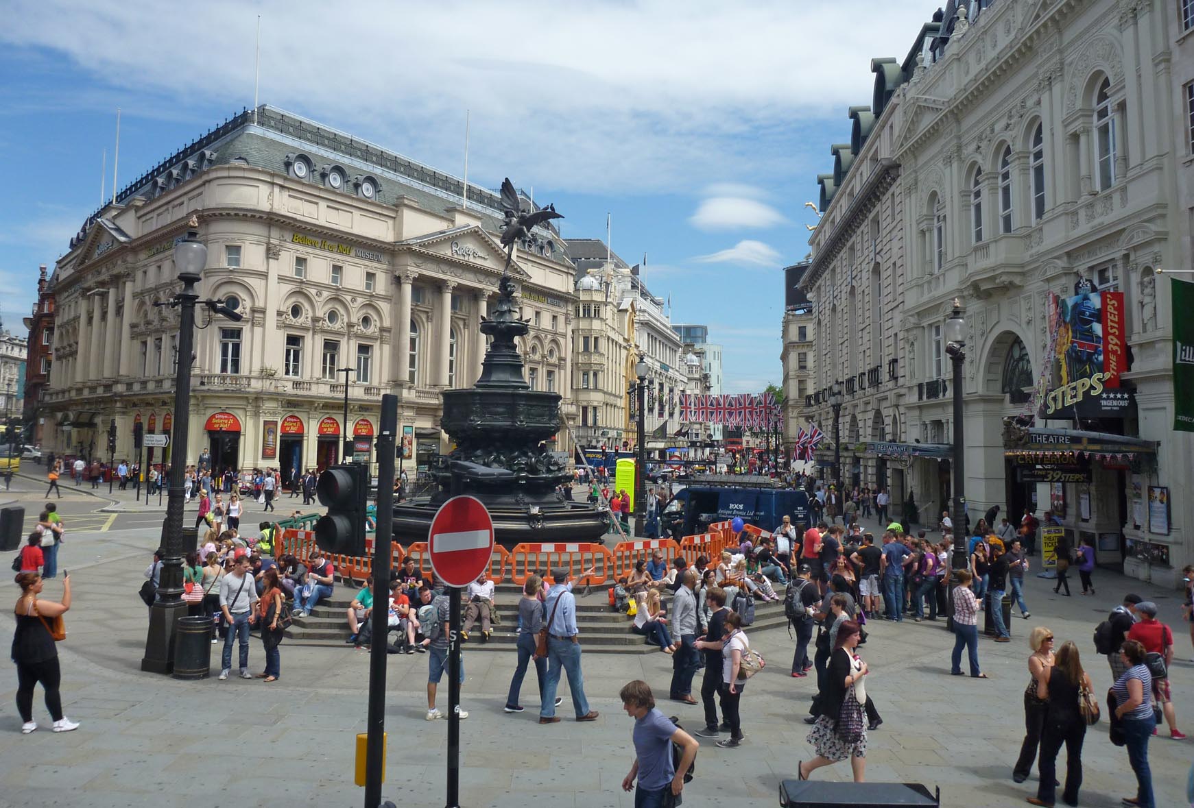
Piccadilly Circus |
Alan McFaden |
Thursday 4th of September 2014 09:13:33 AM |
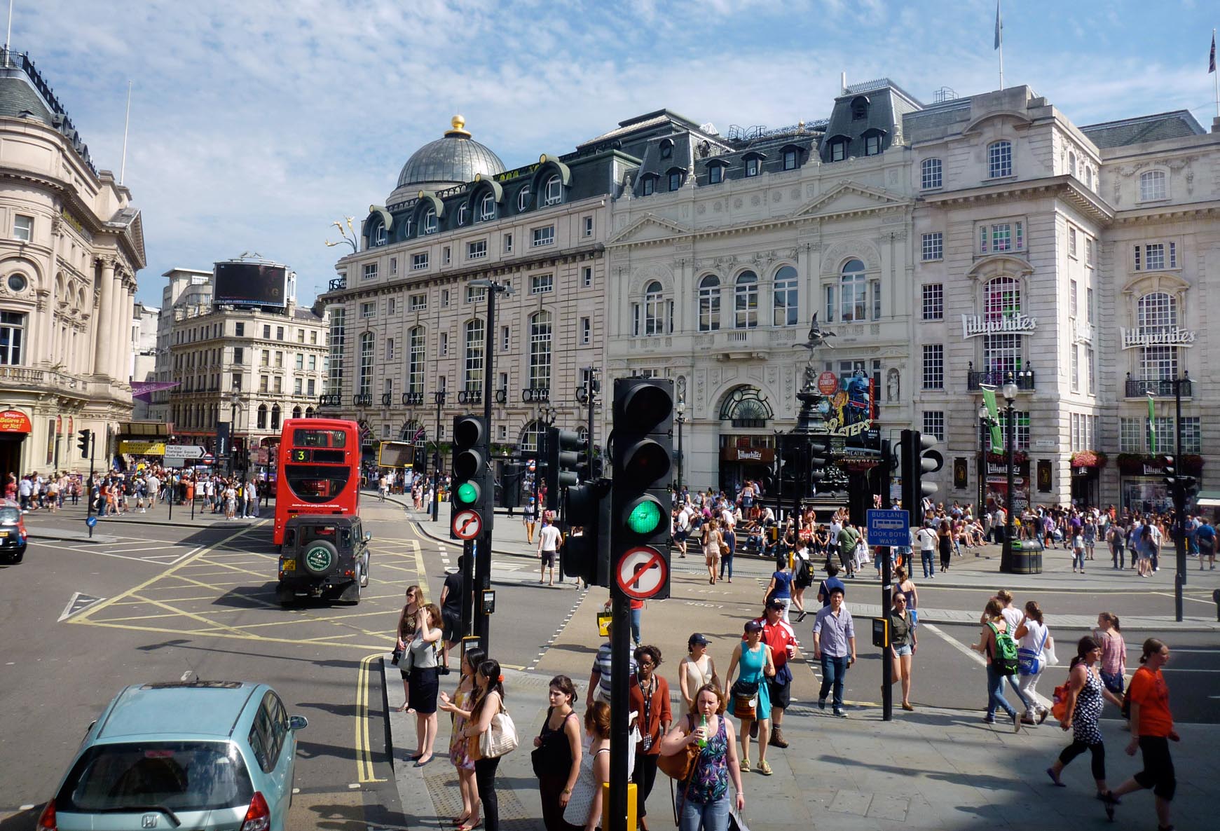
Piccadilly Circus |
Alan McFaden |
Thursday 4th of September 2014 09:13:01 AM |