
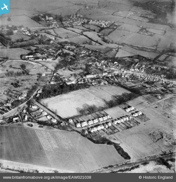
EAW021038 ENGLAND (1949). The town, Great Dunmow, 1949
© Copyright OpenStreetMap contributors and licensed by the OpenStreetMap Foundation. 2026. Cartography is licensed as CC BY-SA.
Nearby Images (3)
EAW021038

EPW025008

EAW037042

Details
| Title | [EAW021038] The town, Great Dunmow, 1949 |
| Reference | EAW021038 |
| Date | 16-February-1949 |
| Link | |
| Place name | GREAT DUNMOW |
| Parish | GREAT DUNMOW |
| District | |
| Country | ENGLAND |
| Easting / Northing | 562515, 221956 |
| Longitude / Latitude | 0.36093884494153, 51.872025605878 |
| National Grid Reference | TL625220 |
Pins

Matt Aldred edob.mattaldred.com |
Thursday 20th of March 2025 11:20:58 PM | |
|
Matt Aldred edob.mattaldred.com |
Thursday 20th of March 2025 11:20:46 PM |