
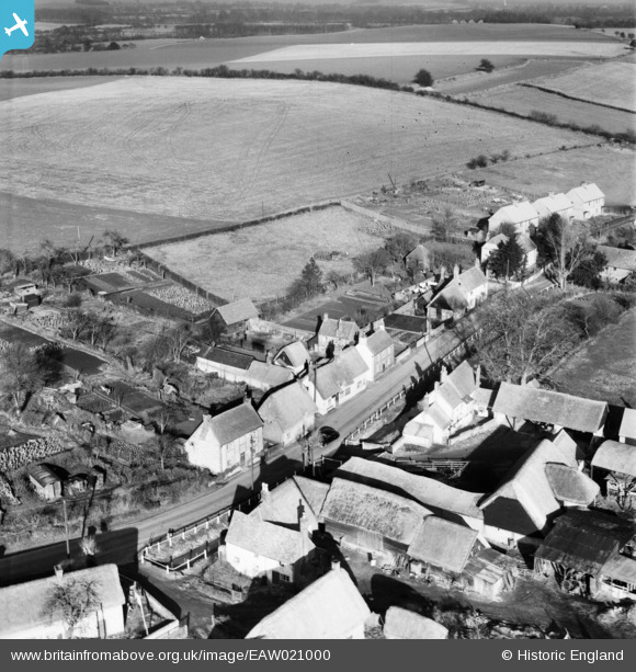
EAW021000 ENGLAND (1949). Houses along the B480, Cuxham, 1949
© Copyright OpenStreetMap contributors and licensed by the OpenStreetMap Foundation. 2026. Cartography is licensed as CC BY-SA.
Nearby Images (2)
EAW021000

EAW021001

Details
| Title | [EAW021000] Houses along the B480, Cuxham, 1949 |
| Reference | EAW021000 |
| Date | 11-February-1949 |
| Link | |
| Place name | CUXHAM |
| Parish | CUXHAM WITH EASINGTON |
| District | |
| Country | ENGLAND |
| Easting / Northing | 466773, 195310 |
| Longitude / Latitude | -1.0347093069334, 51.652145305863 |
| National Grid Reference | SU668953 |
Pins
Be the first to add a comment to this image!