
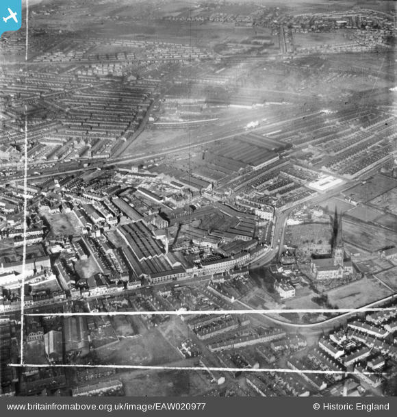
EAW020977 ENGLAND (1949). The Rylands Brothers Ltd Wire Works and environs, Warrington, 1949. This image was marked by Aerofilms Ltd for photo editing.
© Copyright OpenStreetMap contributors and licensed by the OpenStreetMap Foundation. 2026. Cartography is licensed as CC BY-SA.
Nearby Images (19)
EAW020977

EAW020972

EAW020973

EAW020974

EAW020976

EAW020969

EAW020961

EAW020975

EAW020967

EAW020971

EAW020968

EAW020970

EAW020962

EAW020966

EAW020964

EAW020965

EAW020963

EPW005006

EPW005009

Details
| Title | [EAW020977] The Rylands Brothers Ltd Wire Works and environs, Warrington, 1949. This image was marked by Aerofilms Ltd for photo editing. |
| Reference | EAW020977 |
| Date | 10-February-1949 |
| Link | |
| Place name | WARRINGTON |
| Parish | |
| District | |
| Country | ENGLAND |
| Easting / Northing | 361352, 388593 |
| Longitude / Latitude | -2.5812301303484, 53.392493604895 |
| National Grid Reference | SJ614886 |
Pins

redmist |
Monday 20th of July 2020 08:50:06 PM |