
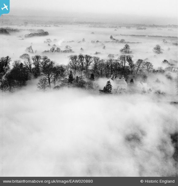
EAW020880 ENGLAND (1949). The Vicarage under fog, Little Wymondley, 1949
© Copyright OpenStreetMap contributors and licensed by the OpenStreetMap Foundation. 2026. Cartography is licensed as CC BY-SA.
Nearby Images (9)
EAW020880

EAW020876

EAW020877

EAW020874

EAW020872

EAW020879

EAW020882

EAW020878

EAW020871

Details
| Title | [EAW020880] The Vicarage under fog, Little Wymondley, 1949 |
| Reference | EAW020880 |
| Date | 2-February-1949 |
| Link | |
| Place name | LITTLE WYMONDLEY |
| Parish | WYMONDLEY |
| District | |
| Country | ENGLAND |
| Easting / Northing | 521781, 227500 |
| Longitude / Latitude | -0.22850939613245, 51.932236922339 |
| National Grid Reference | TL218275 |
Pins
Be the first to add a comment to this image!