
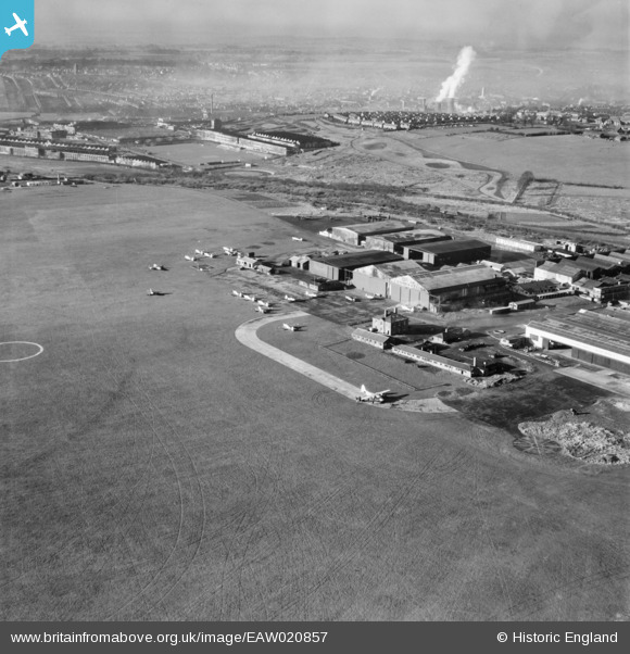
EAW020857 ENGLAND (1949). Luton Airfield, Luton, from the north-east, 1949
© Copyright OpenStreetMap contributors and licensed by the OpenStreetMap Foundation. 2026. Cartography is licensed as CC BY-SA.
Nearby Images (15)
EAW020857

EAW041142

EAW024123

EAW024121

EAW020856

EAW000606

EAW024122

EAW000459

EAW041140

EAW041141

EAW000456

EAW000463

EAW000454

EAW000605

EAW000604

Details
| Title | [EAW020857] Luton Airfield, Luton, from the north-east, 1949 |
| Reference | EAW020857 |
| Date | 2-February-1949 |
| Link | |
| Place name | LUTON |
| Parish | |
| District | |
| Country | ENGLAND |
| Easting / Northing | 511905, 221593 |
| Longitude / Latitude | -0.37402436304056, 51.881217033354 |
| National Grid Reference | TL119216 |
Pins

clippedwings |
Sunday 12th of January 2014 04:02:11 PM |