
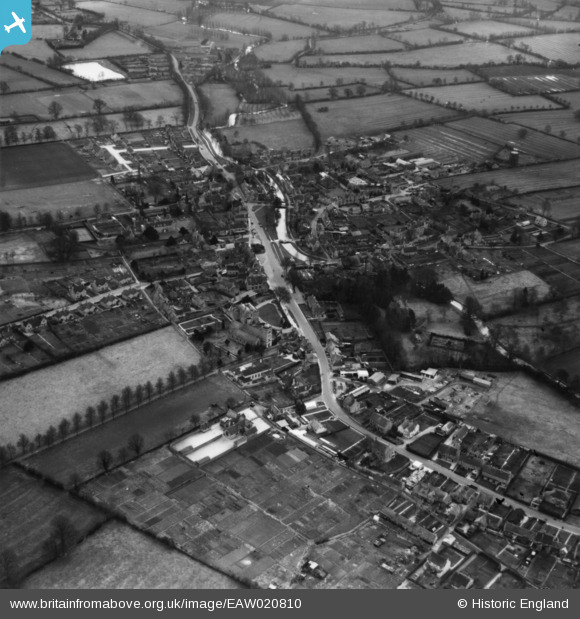
EAW020810 ENGLAND (1949). The village, Bourton-on-the-Water, 1949. This image has been produced from a print.
© Copyright OpenStreetMap contributors and licensed by the OpenStreetMap Foundation. 2026. Cartography is licensed as CC BY-SA.
Nearby Images (9)
EAW020810

EAW049244

EAW049243

EAW049242

EAW020811

EAW020809

EAW020812

EAW020808

EAW020813

Details
| Title | [EAW020810] The village, Bourton-on-the-Water, 1949. This image has been produced from a print. |
| Reference | EAW020810 |
| Date | 20-January-1949 |
| Link | |
| Place name | BOURTON-ON-THE-WATER |
| Parish | BOURTON-ON-THE-WATER |
| District | |
| Country | ENGLAND |
| Easting / Northing | 416712, 220773 |
| Longitude / Latitude | -1.757163340948, 51.884827308497 |
| National Grid Reference | SP167208 |
Pins
Be the first to add a comment to this image!