
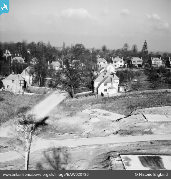
EAW020736 ENGLAND (1948). Wimborne Avenue and construction of 1 and 3 Ravensbury Road, St Paul's Cray, from the south, 1948
© Copyright OpenStreetMap contributors and licensed by the OpenStreetMap Foundation. 2026. Cartography is licensed as CC BY-SA.
Nearby Images (10)
EAW020736

EAW026815

EAW042061

EAW020737

EAW042062

EAW020730

EAW020739

EAW020720

EAW042064

EAW020719

Details
| Title | [EAW020736] Wimborne Avenue and construction of 1 and 3 Ravensbury Road, St Paul's Cray, from the south, 1948 |
| Reference | EAW020736 |
| Date | 24-December-1948 |
| Link | |
| Place name | ST PAUL'S CRAY |
| Parish | |
| District | |
| Country | ENGLAND |
| Easting / Northing | 545868, 168519 |
| Longitude / Latitude | 0.09701431217245, 51.396432448846 |
| National Grid Reference | TQ459685 |
Pins
Be the first to add a comment to this image!