
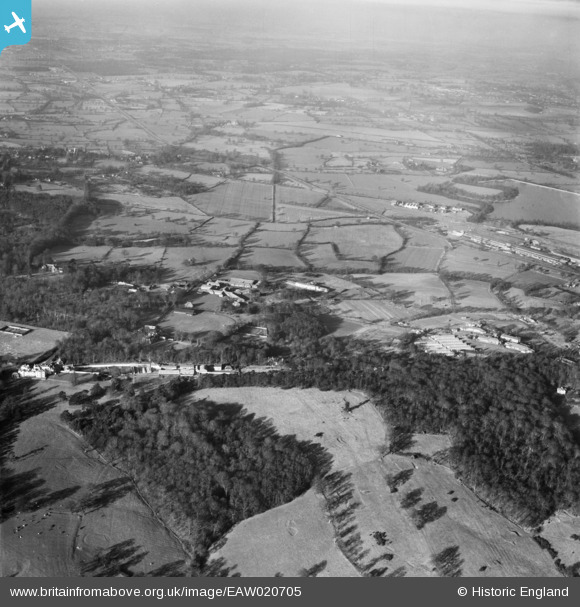
EAW020705 ENGLAND (1948). Brockley Hill, Stanmore, from the south-east, 1948
© Copyright OpenStreetMap contributors and licensed by the OpenStreetMap Foundation. 2026. Cartography is licensed as CC BY-SA.
Nearby Images (4)
EAW020705

EPW061117

EAW020707

EAW020706

Details
| Title | [EAW020705] Brockley Hill, Stanmore, from the south-east, 1948 |
| Reference | EAW020705 |
| Date | 17-December-1948 |
| Link | |
| Place name | STANMORE |
| Parish | |
| District | |
| Country | ENGLAND |
| Easting / Northing | 516931, 193483 |
| Longitude / Latitude | -0.31048751315073, 51.627527717346 |
| National Grid Reference | TQ169935 |
Pins

redmist |
Saturday 16th of April 2022 10:18:55 PM | |
|
redmist |
Saturday 16th of April 2022 10:16:09 PM | |
|
Mark Amies |
Monday 13th of December 2021 10:07:21 AM | |
|
The Laird |
Tuesday 21st of August 2018 03:08:41 PM | |
|
The Laird |
Tuesday 21st of August 2018 02:56:12 PM | |
|
The Laird |
Tuesday 21st of August 2018 02:26:57 PM | |
|
The Laird |
Tuesday 21st of August 2018 02:25:38 PM | |
|
The Laird |
Tuesday 21st of August 2018 01:54:47 PM | |
|
The Laird |
Tuesday 21st of August 2018 01:50:55 PM | |
|
The Laird |
Tuesday 21st of August 2018 01:42:21 PM | |
|
The Laird |
Tuesday 21st of August 2018 01:40:16 PM |