
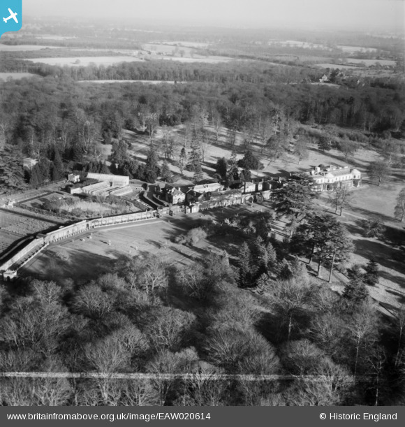
EAW020614 ENGLAND (1948). Dropmore House and Park, Dropmore, from the south-west, 1948. This image was marked by Aerofilms Ltd for photo editing.
© Copyright OpenStreetMap contributors and licensed by the OpenStreetMap Foundation. 2026. Cartography is licensed as CC BY-SA.
Nearby Images (11)
EAW020614

EAW020623

EAW020621

EAW020622

EAW020618

EAW020620

EAW020624

EAW020619

EAW020616

EAW020617

EAW020615

Details
| Title | [EAW020614] Dropmore House and Park, Dropmore, from the south-west, 1948. This image was marked by Aerofilms Ltd for photo editing. |
| Reference | EAW020614 |
| Date | 8-December-1948 |
| Link | |
| Place name | DROPMORE |
| Parish | TAPLOW |
| District | |
| Country | ENGLAND |
| Easting / Northing | 492470, 185956 |
| Longitude / Latitude | -0.66578701504849, 51.564413636229 |
| National Grid Reference | SU925860 |
Pins
Be the first to add a comment to this image!