
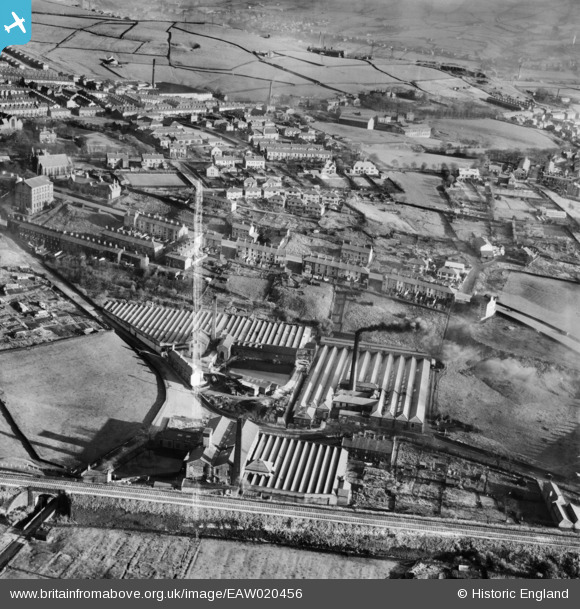
EAW020456 ENGLAND (1948). Spring Vale, Waterside and Charles Lane Cotton Mills and environs, Haslingden, 1948. This image was marked by Aerofilms Ltd for photo editing.
© Copyright OpenStreetMap contributors and licensed by the OpenStreetMap Foundation. 2026. Cartography is licensed as CC BY-SA.
Nearby Images (7)
EAW020456

EAW020454

EAW020455

EAW020457

EAW020453

EAW020451

EAW020452

Details
| Title | [EAW020456] Spring Vale, Waterside and Charles Lane Cotton Mills and environs, Haslingden, 1948. This image was marked by Aerofilms Ltd for photo editing. |
| Reference | EAW020456 |
| Date | 8-November-1948 |
| Link | |
| Place name | HASLINGDEN |
| Parish | |
| District | |
| Country | ENGLAND |
| Easting / Northing | 378364, 422825 |
| Longitude / Latitude | -2.327760551193, 53.701184691705 |
| National Grid Reference | SD784228 |
Pins
Be the first to add a comment to this image!