
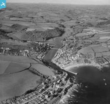
EAW020275 ENGLAND (1948). The harbour and town, Looe, from the south-east, 1948

© Copyright OpenStreetMap contributors and licensed by the OpenStreetMap Foundation. 2026. Cartography is licensed as CC BY-SA.
Nearby Images (15)
EAW020275

EAW040790

EAW040785

EAW040788

EAW040786

EAW040787

EAW040784

EAW040789

EAW020247

EAW051358

EAW020250

EAW020248

EAW020246

EAW021374

EAW020249

Details
| Title | [EAW020275] The harbour and town, Looe, from the south-east, 1948 |
| Reference | EAW020275 |
| Date | 26-October-1948 |
| Link | |
| Place name | LOOE |
| Parish | LOOE |
| District | |
| Country | ENGLAND |
| Easting / Northing | 225633, 52871 |
| Longitude / Latitude | -4.4511888635775, 50.34928552334 |
| National Grid Reference | SX256529 |
Pins

Matt Aldred edob.mattaldred.com |
Tuesday 9th of March 2021 05:15:01 PM | |

redmist |
Wednesday 16th of December 2020 10:28:51 AM | |
|
redmist |
Wednesday 16th of December 2020 10:28:22 AM | |
|
redmist |
Wednesday 16th of December 2020 10:26:38 AM | |
|
redmist |
Wednesday 16th of December 2020 10:25:23 AM | |
|
redmist |
Tuesday 15th of December 2020 03:27:34 PM | |
|
redmist |
Tuesday 15th of December 2020 03:23:25 PM | |
|
redmist |
Tuesday 15th of December 2020 03:15:43 PM | |
|
redmist |
Tuesday 15th of December 2020 03:13:37 PM | |
|
Alec K |
Sunday 12th of January 2020 04:26:10 PM | |
|
Alec K |
Wednesday 11th of December 2019 02:43:11 PM | |
|
cptpies |
Monday 30th of March 2015 02:17:21 PM | |
|
cptpies |
Monday 30th of March 2015 02:16:47 PM | |
|
cptpies |
Monday 30th of March 2015 02:16:01 PM | |
|
cptpies |
Monday 30th of March 2015 02:15:19 PM | |

clippedwings |
Sunday 20th of April 2014 12:02:07 PM |
User Comment Contributions
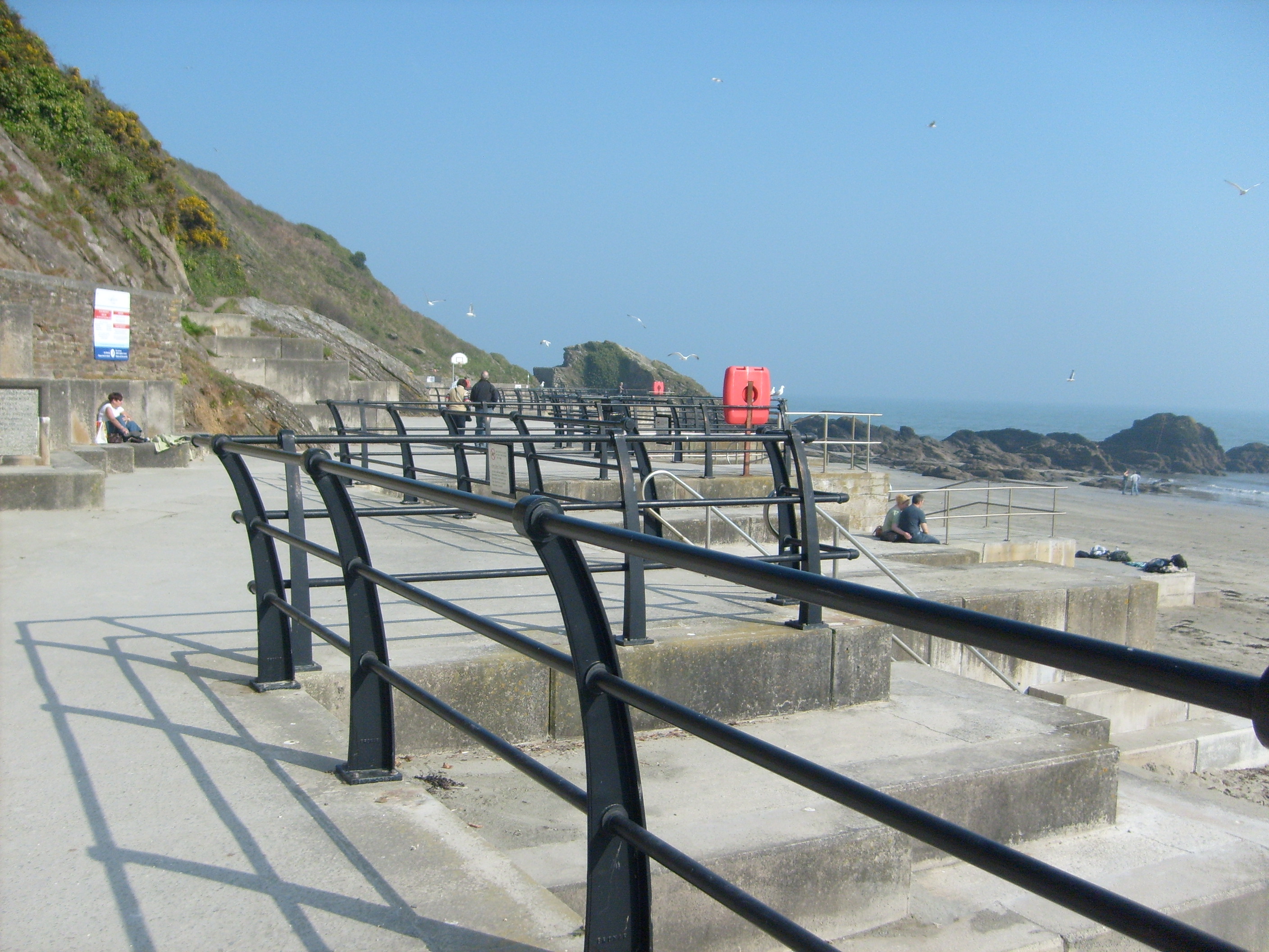
Nice view of the East Looe Coast Artillery Battery. |
cptpies |
Monday 30th of March 2015 02:20:03 PM |

Looe Railway Station, 14/01/2008 |

Class31 |
Monday 22nd of December 2014 03:50:19 PM |
East Looe, 14/01/2008 |
Class31 |
Monday 22nd of December 2014 03:46:44 PM |
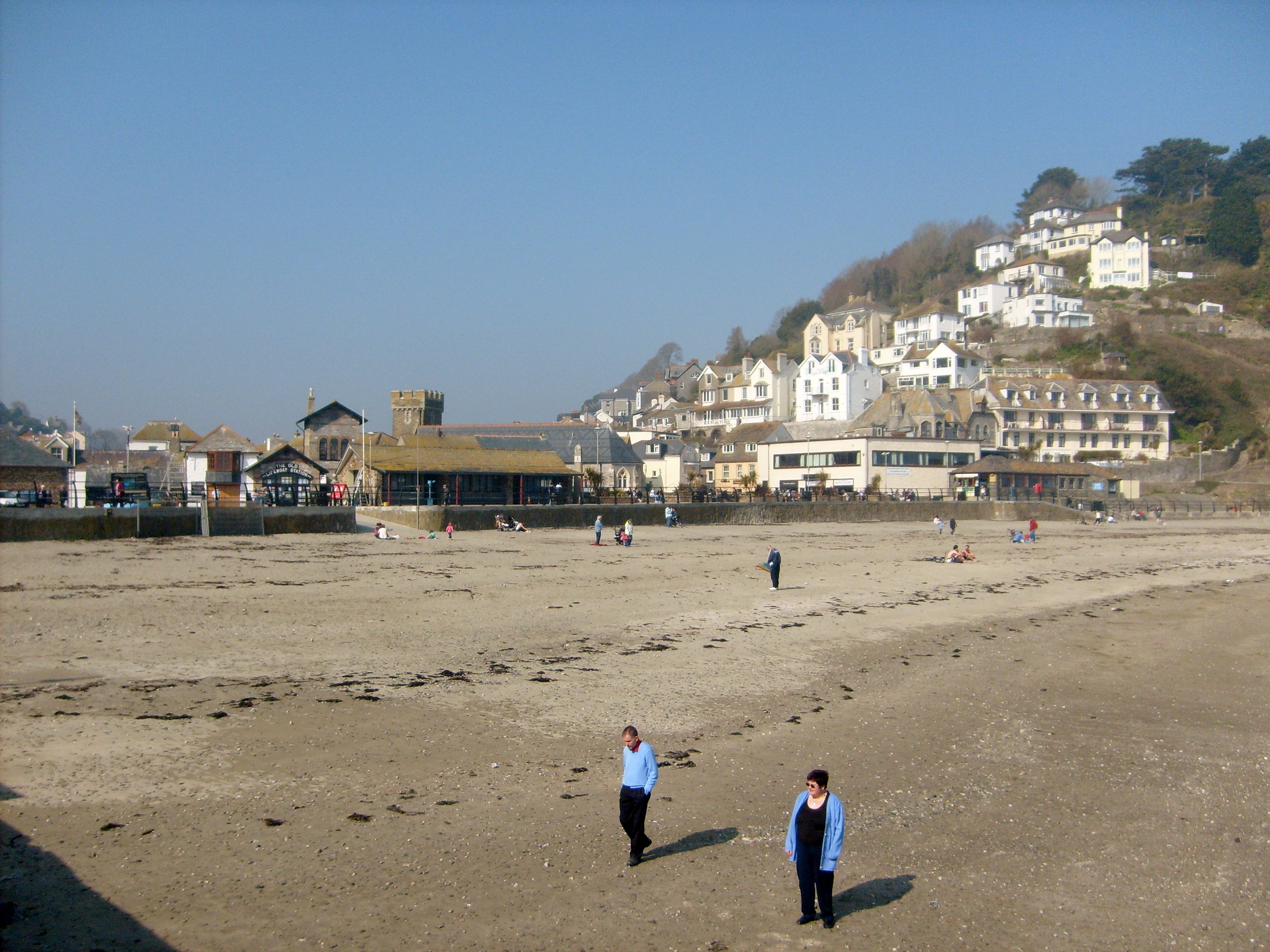
The Beach 14/01/2008 |
Class31 |
Wednesday 29th of January 2014 05:30:23 PM |

End of The Pier 14/01/2008 |
Class31 |
Wednesday 29th of January 2014 05:27:34 PM |