
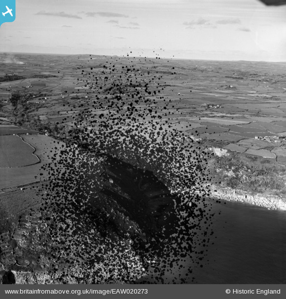
EAW020273 ENGLAND (1948). Lamorna Cove, Lamorna, from the south, 1948. This image has been produced from a damaged negative.
© Copyright OpenStreetMap contributors and licensed by the OpenStreetMap Foundation. 2026. Cartography is licensed as CC BY-SA.
Nearby Images (2)
EAW020273

EAW020272
, Lamorna, from the south, 1948. This image has been produced from a damaged negative.")
Details
| Title | [EAW020273] Lamorna Cove, Lamorna, from the south, 1948. This image has been produced from a damaged negative. |
| Reference | EAW020273 |
| Date | 26-October-1948 |
| Link | |
| Place name | LAMORNA |
| Parish | PAUL |
| District | |
| Country | ENGLAND |
| Easting / Northing | 145050, 24157 |
| Longitude / Latitude | -5.5627593821516, 50.062156655285 |
| National Grid Reference | SW451242 |
Pins
Be the first to add a comment to this image!