
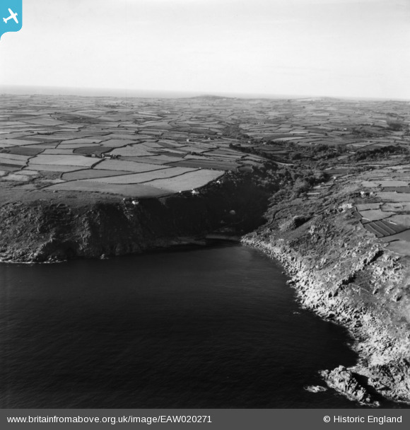
EAW020271 ENGLAND (1948). Lamorna Cove, Lamorna, from the east, 1948. This image has been produced from a print.
© Copyright OpenStreetMap contributors and licensed by the OpenStreetMap Foundation. 2026. Cartography is licensed as CC BY-SA.
Nearby Images (2)
EAW020271

EAW020274

Details
| Title | [EAW020271] Lamorna Cove, Lamorna, from the east, 1948. This image has been produced from a print. |
| Reference | EAW020271 |
| Date | 26-October-1948 |
| Link | |
| Place name | LAMORNA |
| Parish | PAUL |
| District | |
| Country | ENGLAND |
| Easting / Northing | 145464, 23813 |
| Longitude / Latitude | -5.5567571889206, 50.059245719812 |
| National Grid Reference | SW455238 |
Pins
Be the first to add a comment to this image!