
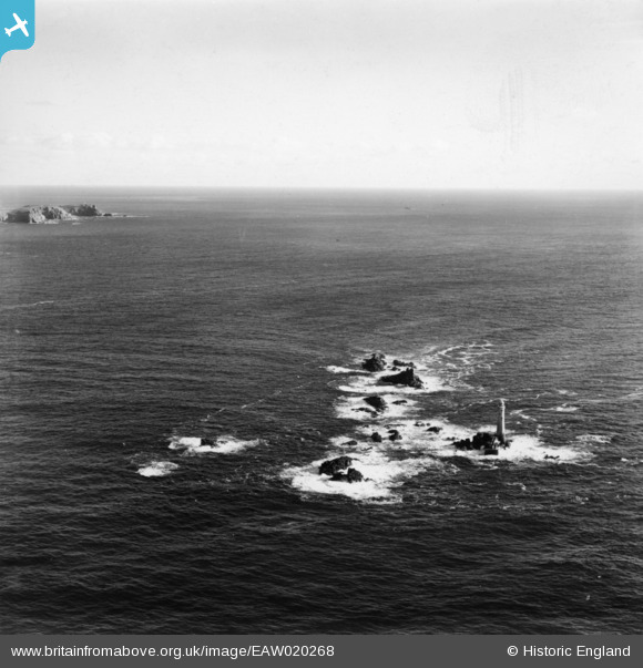
EAW020268 ENGLAND (1948). Longships Lighthouse and islets, Longships, from the north-west, 1948. This image has been produced from a print.
© Copyright OpenStreetMap contributors and licensed by the OpenStreetMap Foundation. 2026. Cartography is licensed as CC BY-SA.
Nearby Images (10)
EAW020268

EAW003621

EAW020267
, Longships, 1948. This image has been produced from a damaged negative.")
EAW020266

EAW004883

EAW003619

EAW003622

EAW004881

EAW004880

EPW039854

Details
| Title | [EAW020268] Longships Lighthouse and islets, Longships, from the north-west, 1948. This image has been produced from a print. |
| Reference | EAW020268 |
| Date | 26-October-1948 |
| Link | |
| Place name | LONGSHIPS |
| Parish | SENNEN |
| District | |
| Country | ENGLAND |
| Easting / Northing | 132018, 25389 |
| Longitude / Latitude | -5.7453332413157, 50.067487339047 |
| National Grid Reference | SW320254 |
Pins
Be the first to add a comment to this image!