
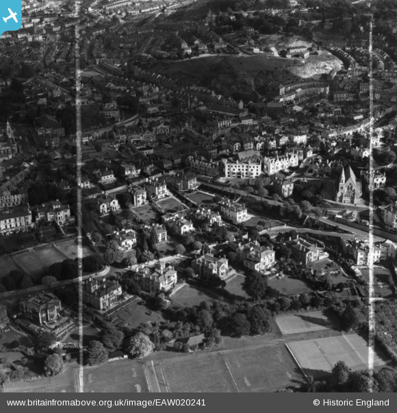
EAW020241 ENGLAND (1948). Croft Road, Abbey Road and environs, Torquay, 1948. This image has been produced from a print marked by Aerofilms Ltd for photo editing.
© Copyright OpenStreetMap contributors and licensed by the OpenStreetMap Foundation. 2026. Cartography is licensed as CC BY-SA.
Nearby Images (6)
EAW020241

EAW020239

EAW020240

EAW020242

EPW033411

EAW047126

Details
| Title | [EAW020241] Croft Road, Abbey Road and environs, Torquay, 1948. This image has been produced from a print marked by Aerofilms Ltd for photo editing. |
| Reference | EAW020241 |
| Date | 26-October-1948 |
| Link | |
| Place name | TORQUAY |
| Parish | |
| District | |
| Country | ENGLAND |
| Easting / Northing | 291286, 64068 |
| Longitude / Latitude | -3.5319609392589, 50.465747154587 |
| National Grid Reference | SX913641 |
Pins

Class31 |
Monday 20th of April 2015 08:22:37 PM |
