
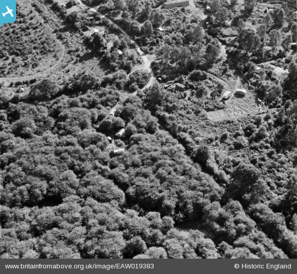
EAW019383 ENGLAND (1948). Caravans and tents in Batchelor's Rough, Box Hill, 1948
© Copyright OpenStreetMap contributors and licensed by the OpenStreetMap Foundation. 2026. Cartography is licensed as CC BY-SA.
Nearby Images (8)
EAW019383

EAW019372

EAW019371

EAW019373

EAW019370

EAW019384

EAW019377

EAW019366

Details
| Title | [EAW019383] Caravans and tents in Batchelor's Rough, Box Hill, 1948 |
| Reference | EAW019383 |
| Date | 30-September-1948 |
| Link | |
| Place name | BOX HILL |
| Parish | |
| District | |
| Country | ENGLAND |
| Easting / Northing | 520061, 152168 |
| Longitude / Latitude | -0.2793008273234, 51.255508335091 |
| National Grid Reference | TQ201522 |
Pins
Be the first to add a comment to this image!