
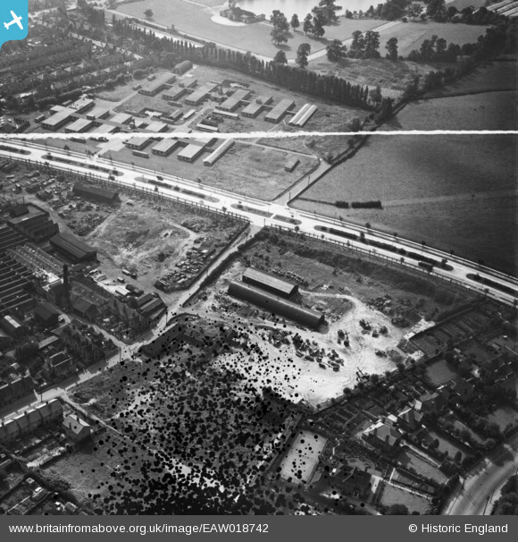
EAW018742 ENGLAND (1948). Government buildings and industrial buildings adjacent to Clifton Boulevard, Lenton, 1948. This image was marked by Aerofilms Ltd for photo editing.
© Copyright OpenStreetMap contributors and licensed by the OpenStreetMap Foundation. 2026. Cartography is licensed as CC BY-SA.
Nearby Images (13)
EAW018742

EAW018743

EAW018740

EAW018739

EPW059446

EAW018737

EPW059442

EPW059443

EPW059440

EPW059445

EPW059444

EPW059441

EAW018741

Details
| Title | [EAW018742] Government buildings and industrial buildings adjacent to Clifton Boulevard, Lenton, 1948. This image was marked by Aerofilms Ltd for photo editing. |
| Reference | EAW018742 |
| Date | 21-September-1948 |
| Link | |
| Place name | LENTON |
| Parish | |
| District | |
| Country | ENGLAND |
| Easting / Northing | 454687, 338734 |
| Longitude / Latitude | -1.186106081452, 52.942890985046 |
| National Grid Reference | SK547387 |
Pins
Be the first to add a comment to this image!