
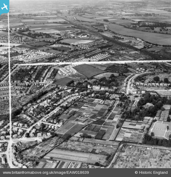
EAW018639 ENGLAND (1948). The Backhouse Nurseries and surrounding residential area, Holgate, 1948. This image has been produced from a print marked by Aerofilms Ltd for photo editing.
© Copyright OpenStreetMap contributors and licensed by the OpenStreetMap Foundation. 2026. Cartography is licensed as CC BY-SA.
Nearby Images (3)
EAW018639

EAW018641

EAW018636

Details
| Title | [EAW018639] The Backhouse Nurseries and surrounding residential area, Holgate, 1948. This image has been produced from a print marked by Aerofilms Ltd for photo editing. |
| Reference | EAW018639 |
| Date | 10-September-1948 |
| Link | |
| Place name | HOLGATE |
| Parish | |
| District | |
| Country | ENGLAND |
| Easting / Northing | 458031, 451474 |
| Longitude / Latitude | -1.115538444427, 53.955902382705 |
| National Grid Reference | SE580515 |
Pins
Be the first to add a comment to this image!