
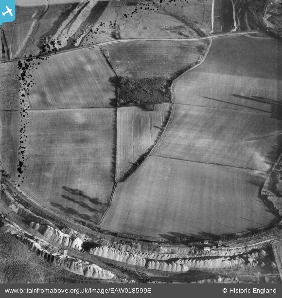
EAW018599E ENGLAND (1948). Opencast ironstone workings, Flixborough, 1948. This image has been produced from a damaged negative.
© Copyright OpenStreetMap contributors and licensed by the OpenStreetMap Foundation. 2026. Cartography is licensed as CC BY-SA.
Nearby Images (5)
EAW018599E

EAW009410

EAW018599D

EAW018599G

EAW021135

Details
| Title | [EAW018599E] Opencast ironstone workings, Flixborough, 1948. This image has been produced from a damaged negative. |
| Reference | EAW018599E |
| Date | 10-September-1948 |
| Link | |
| Place name | FLIXBOROUGH |
| Parish | FLIXBOROUGH |
| District | |
| Country | ENGLAND |
| Easting / Northing | 488417, 414852 |
| Longitude / Latitude | -0.66304282225547, 53.622495439881 |
| National Grid Reference | SE884149 |
Pins

Tony D |
Wednesday 18th of December 2013 11:10:31 PM | |
Thanks Tony D, pinning the details really helps. We'll update the catalogue and post the new data here in due course. Yours, Katy Britain from Above Cataloguing Team Leader |
Katy Whitaker |
Tuesday 7th of January 2014 03:58:11 PM |
