
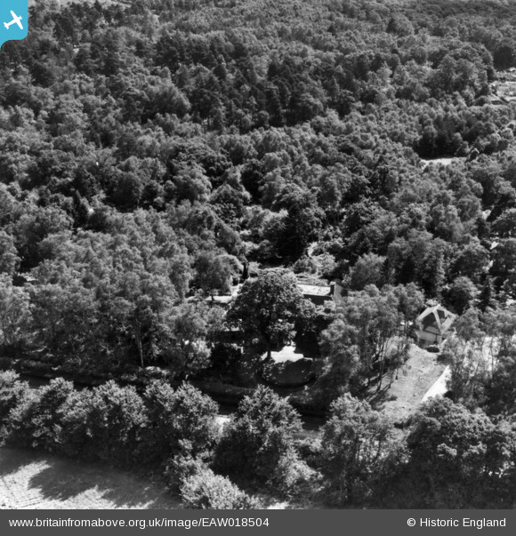
EAW018504 ENGLAND (1948). Trees around Ridgeland House, Finchampstead, 1948. This image has been produced from a print.
© Copyright OpenStreetMap contributors and licensed by the OpenStreetMap Foundation. 2025. Cartography is licensed as CC BY-SA.
Nearby Images (7)
EAW018504

EAW018508

EAW018506

EAW018505

EAW018502

EAW018507

EAW018503

Details
| Title | [EAW018504] Trees around Ridgeland House, Finchampstead, 1948. This image has been produced from a print. |
| Reference | EAW018504 |
| Date | 6-September-1948 |
| Link | |
| Place name | FINCHAMPSTEAD |
| Parish | FINCHAMPSTEAD |
| District | |
| Country | ENGLAND |
| Easting / Northing | 480407, 163623 |
| Longitude / Latitude | -0.84487949299829, 51.36547332521 |
| National Grid Reference | SU804636 |
Pins
Be the first to add a comment to this image!