
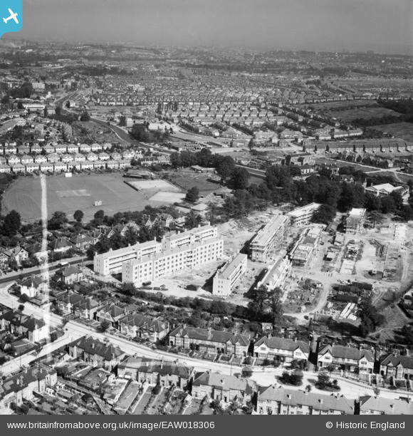
EAW018306 ENGLAND (1948). The Flower House Estate under construction and environs, Downham, from the south-east, 1948. This image was marked by Aerofilms Ltd for photo editing.
© Copyright OpenStreetMap contributors and licensed by the OpenStreetMap Foundation. 2026. Cartography is licensed as CC BY-SA.
Nearby Images (7)
EAW018306

EAW018309

EAW018310

EAW018307

EAW018305

EAW018304

EAW018308

Details
| Title | [EAW018306] The Flower House Estate under construction and environs, Downham, from the south-east, 1948. This image was marked by Aerofilms Ltd for photo editing. |
| Reference | EAW018306 |
| Date | 24-August-1948 |
| Link | |
| Place name | DOWNHAM |
| Parish | |
| District | |
| Country | ENGLAND |
| Easting / Northing | 538302, 171390 |
| Longitude / Latitude | -0.01056308605832, 51.424129991173 |
| National Grid Reference | TQ383714 |
Pins

Gone2Kent |
Sunday 12th of January 2014 07:42:53 PM |