
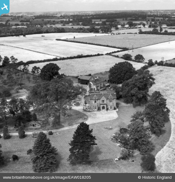
EAW018205 ENGLAND (1948). Blacklands, Birchanger, from the south-east, 1948. This image has been produced from a print.
© Copyright OpenStreetMap contributors and licensed by the OpenStreetMap Foundation. 2026. Cartography is licensed as CC BY-SA.
Nearby Images (5)
EAW018205

EAW018206

EAW018210

EAW018207

EAW018208

Details
| Title | [EAW018205] Blacklands, Birchanger, from the south-east, 1948. This image has been produced from a print. |
| Reference | EAW018205 |
| Date | 18-August-1948 |
| Link | |
| Place name | BIRCHANGER |
| Parish | BIRCHANGER |
| District | |
| Country | ENGLAND |
| Easting / Northing | 551092, 221975 |
| Longitude / Latitude | 0.19513584727862, 51.875408057073 |
| National Grid Reference | TL511220 |
Pins
Be the first to add a comment to this image!