
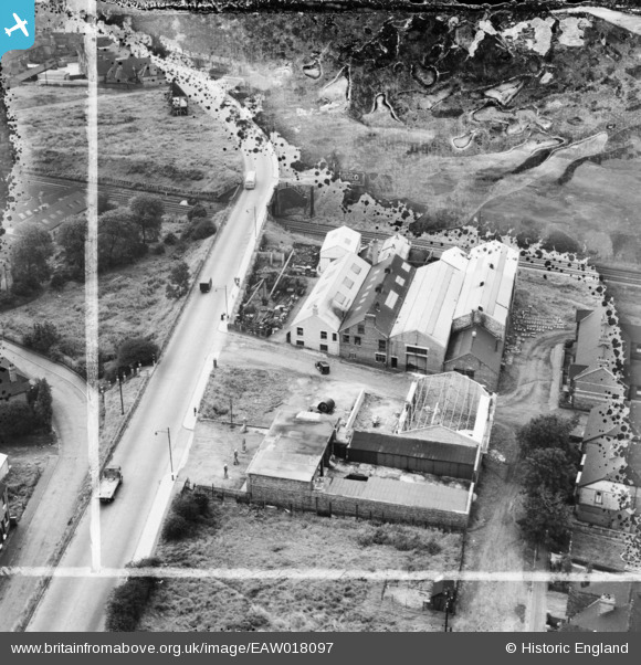
EAW018097 ENGLAND (1948). Jesshope Ltd Engineering Works on Orford Street, Porthill, 1948. This image was marked by Aerofilms Ltd for photo editing.
© Copyright OpenStreetMap contributors and licensed by the OpenStreetMap Foundation. 2026. Cartography is licensed as CC BY-SA.
Nearby Images (18)
EAW018097

EAW018099

EAW035058

EAW035056

EAW018100

EAW035054

EAW035053

EAW018103

EAW035052

EAW018098

EAW018102

EAW035051

EAW018096

EAW035059

EAW018101

EAW035060

EAW035057

EAW035055

Details
| Title | [EAW018097] Jesshope Ltd Engineering Works on Orford Street, Porthill, 1948. This image was marked by Aerofilms Ltd for photo editing. |
| Reference | EAW018097 |
| Date | 10-August-1948 |
| Link | |
| Place name | PORTHILL |
| Parish | |
| District | |
| Country | ENGLAND |
| Easting / Northing | 385665, 349202 |
| Longitude / Latitude | -2.2138197204836, 53.039595365232 |
| National Grid Reference | SJ857492 |
Pins
Be the first to add a comment to this image!