
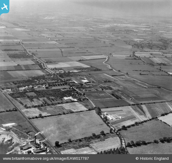
EAW017787 ENGLAND (1948). Nurseries at Bracebridge Low Fields and the surrounding countryside, Lincoln, from the north-east, 1948. This image has been produced from a print.
© Copyright OpenStreetMap contributors and licensed by the OpenStreetMap Foundation. 2026. Cartography is licensed as CC BY-SA.
Nearby Images (3)
EAW017787

EAW017792

EAW017789

Details
| Title | [EAW017787] Nurseries at Bracebridge Low Fields and the surrounding countryside, Lincoln, from the north-east, 1948. This image has been produced from a print. |
| Reference | EAW017787 |
| Date | 28-July-1948 |
| Link | |
| Place name | LINCOLN |
| Parish | |
| District | |
| Country | ENGLAND |
| Easting / Northing | 496672, 367024 |
| Longitude / Latitude | -0.5529239471825, 53.191220294652 |
| National Grid Reference | SK967670 |
Pins
Be the first to add a comment to this image!