
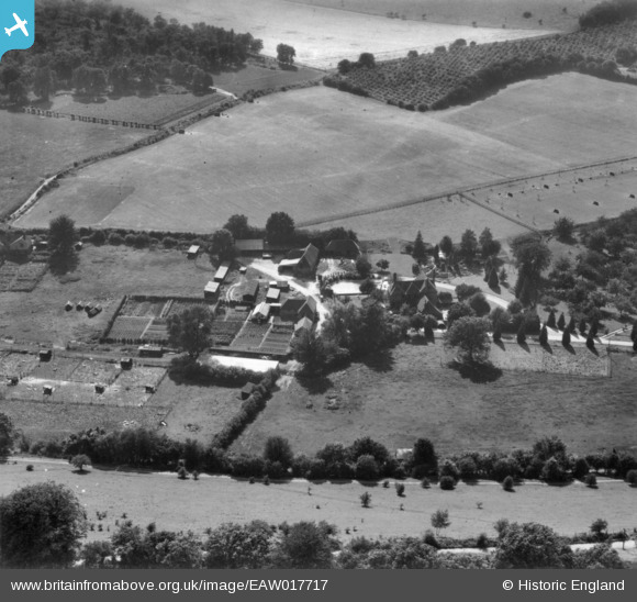
EAW017717 ENGLAND (1948). Crundale House, Crundale, 1948. This image has been produced from a print.
© Copyright OpenStreetMap contributors and licensed by the OpenStreetMap Foundation. 2026. Cartography is licensed as CC BY-SA.
Nearby Images (4)
EAW017717

EAW017714

EAW017715

EAW017716

Details
| Title | [EAW017717] Crundale House, Crundale, 1948. This image has been produced from a print. |
| Reference | EAW017717 |
| Date | 29-July-1948 |
| Link | |
| Place name | CRUNDALE |
| Parish | CRUNDALE |
| District | |
| Country | ENGLAND |
| Easting / Northing | 608243, 148697 |
| Longitude / Latitude | 0.98104842505132, 51.19895814508 |
| National Grid Reference | TR082487 |
Pins
Be the first to add a comment to this image!