
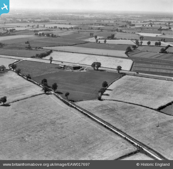
EAW017697 ENGLAND (1948). Countryside around Little Domsey, Feering, from the south-east, 1948. This image has been produced from a print.
© Copyright OpenStreetMap contributors and licensed by the OpenStreetMap Foundation. 2026. Cartography is licensed as CC BY-SA.
Nearby Images (2)
EAW017697

EAW017696

Details
| Title | [EAW017697] Countryside around Little Domsey, Feering, from the south-east, 1948. This image has been produced from a print. |
| Reference | EAW017697 |
| Date | 26-July-1948 |
| Link | |
| Place name | FEERING |
| Parish | FEERING |
| District | |
| Country | ENGLAND |
| Easting / Northing | 589209, 221170 |
| Longitude / Latitude | 0.74785813048765, 51.856550647781 |
| National Grid Reference | TL892212 |
Pins
Be the first to add a comment to this image!