
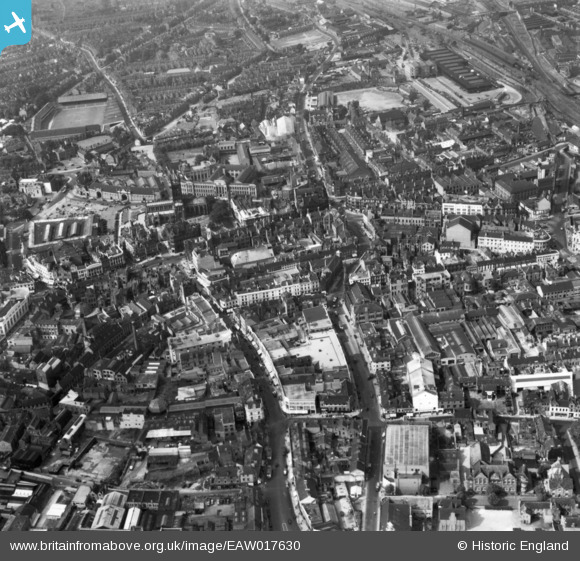
EAW017630 ENGLAND (1948). Dudley Street, Market Street and environs, Wolverhampton, 1948. This image has been produced from a print.
© Copyright OpenStreetMap contributors and licensed by the OpenStreetMap Foundation. 2026. Cartography is licensed as CC BY-SA.
Nearby Images (15)
EAW017630

EPW011832

EPW011774

EPW057476

EPW011835

EPW053724

EPW011780

EPW022595

EPW053728

EPW057474

EPW053731

EPW053729

EPR000569

EPW011798

EPW022897

Details
| Title | [EAW017630] Dudley Street, Market Street and environs, Wolverhampton, 1948. This image has been produced from a print. |
| Reference | EAW017630 |
| Date | 26-July-1948 |
| Link | |
| Place name | WOLVERHAMPTON |
| Parish | |
| District | |
| Country | ENGLAND |
| Easting / Northing | 391547, 298683 |
| Longitude / Latitude | -2.124777239274, 52.585530624741 |
| National Grid Reference | SO915987 |
Pins

Claire |
Sunday 16th of March 2025 08:25:03 PM | |
|
Claire |
Sunday 16th of March 2025 08:24:16 PM | |
|
Claire |
Sunday 16th of March 2025 08:23:23 PM | |
|
Claire |
Saturday 25th of January 2025 07:13:42 PM | |
|
Claire |
Saturday 25th of January 2025 07:13:16 PM | |
|
Claire |
Saturday 25th of January 2025 07:12:45 PM | |
|
Claire |
Saturday 25th of January 2025 07:11:43 PM | |
|
ColinP |
Saturday 6th of December 2014 04:54:14 PM |