
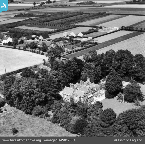
EAW017604 ENGLAND (1948). Worth Court, Worth, 1948. This image has been produced from a print.
© Copyright OpenStreetMap contributors and licensed by the OpenStreetMap Foundation. 2026. Cartography is licensed as CC BY-SA.
Nearby Images (5)
EAW017604

EAW017603

EAW017605

EAW017602

EAW017601

Details
| Title | [EAW017604] Worth Court, Worth, 1948. This image has been produced from a print. |
| Reference | EAW017604 |
| Date | 22-July-1948 |
| Link | |
| Place name | WORTH |
| Parish | WORTH |
| District | |
| Country | ENGLAND |
| Easting / Northing | 632947, 156130 |
| Longitude / Latitude | 1.3389140691311, 51.256153039904 |
| National Grid Reference | TR329561 |
Pins
Be the first to add a comment to this image!