
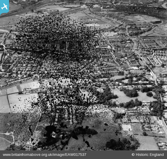
EAW017537 ENGLAND (1948). The residential area between the Manchester Ship Canal and the Bridgewater Canal, Stockton Heath, 1948. This image has been produced from a damaged negative.
© Copyright OpenStreetMap contributors and licensed by the OpenStreetMap Foundation. 2026. Cartography is licensed as CC BY-SA.
Nearby Images (3)
EAW017537

EAW017531

EAW017532

Details
| Title | [EAW017537] The residential area between the Manchester Ship Canal and the Bridgewater Canal, Stockton Heath, 1948. This image has been produced from a damaged negative. |
| Reference | EAW017537 |
| Date | 22-July-1948 |
| Link | |
| Place name | STOCKTON HEATH |
| Parish | STOCKTON HEATH |
| District | |
| Country | ENGLAND |
| Easting / Northing | 361199, 385673 |
| Longitude / Latitude | -2.5831722469631, 53.366233984771 |
| National Grid Reference | SJ612857 |
Pins

NeilRobertson |
Thursday 9th of October 2025 09:51:11 PM | |
|
NeilRobertson |
Thursday 9th of October 2025 09:49:37 PM | |

TheCreteFleet |
Monday 24th of April 2023 03:59:59 PM | |
|
Bottom Yard |
Tuesday 4th of October 2022 12:31:35 PM | |
|
Bottom Yard |
Tuesday 4th of October 2022 12:29:48 PM |