
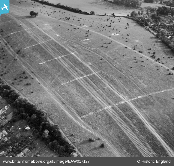
EAW017127 ENGLAND (1948). Farthing Downs, Coulsdon, 1948
© Copyright OpenStreetMap contributors and licensed by the OpenStreetMap Foundation. 2026. Cartography is licensed as CC BY-SA.
Nearby Images (9)
EAW017127

EAW017126

EAW017121

EAW017122

EAW017125

EAW017124

EAW017119

EAW017120

EAW017123

Details
| Title | [EAW017127] Farthing Downs, Coulsdon, 1948 |
| Reference | EAW017127 |
| Date | 6-July-1948 |
| Link | |
| Place name | COULSDON |
| Parish | |
| District | |
| Country | ENGLAND |
| Easting / Northing | 529974, 158143 |
| Longitude / Latitude | -0.13513238433765, 51.307038263602 |
| National Grid Reference | TQ300581 |
Pins
Be the first to add a comment to this image!