
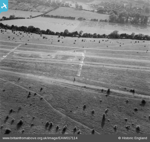
EAW017114 ENGLAND (1948). Farthing Downs, Coulsdon, 1948
© Copyright OpenStreetMap contributors and licensed by the OpenStreetMap Foundation. 2026. Cartography is licensed as CC BY-SA.
Nearby Images (7)
EAW017114

EAW017118

EAW017120

EAW017115

EAW017116

EAW017119

EAW017117

Details
| Title | [EAW017114] Farthing Downs, Coulsdon, 1948 |
| Reference | EAW017114 |
| Date | 6-July-1948 |
| Link | |
| Place name | COULSDON |
| Parish | |
| District | |
| Country | ENGLAND |
| Easting / Northing | 530048, 157876 |
| Longitude / Latitude | -0.13416858453517, 51.304621551523 |
| National Grid Reference | TQ300579 |
Pins
Be the first to add a comment to this image!