
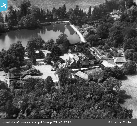
EAW017094 ENGLAND (1948). Eastwater House, Bramley, 1948. This image has been produced from a print.
© Copyright OpenStreetMap contributors and licensed by the OpenStreetMap Foundation. 2026. Cartography is licensed as CC BY-SA.
Nearby Images (4)
EAW017094

EAW017092

EAW017090

EAW017093

Details
| Title | [EAW017094] Eastwater House, Bramley, 1948. This image has been produced from a print. |
| Reference | EAW017094 |
| Date | 6-July-1948 |
| Link | |
| Place name | BRAMLEY |
| Parish | BRAMLEY |
| District | |
| Country | ENGLAND |
| Easting / Northing | 500224, 144089 |
| Longitude / Latitude | -0.56575632650834, 51.186710315336 |
| National Grid Reference | TQ002441 |
Pins
Be the first to add a comment to this image!