
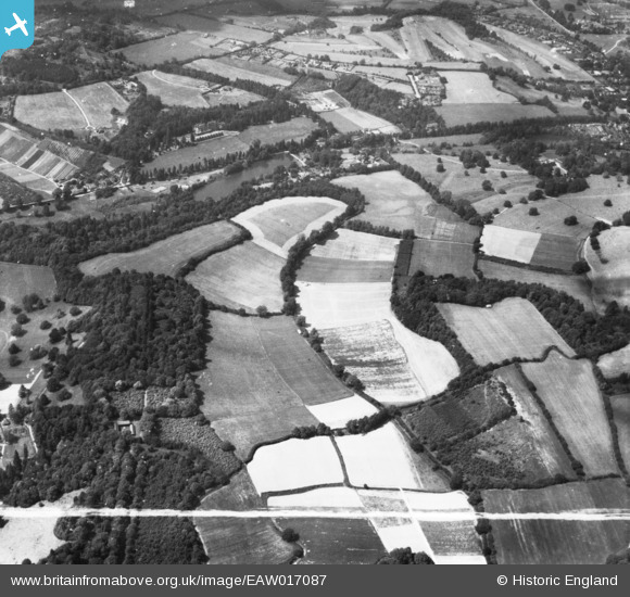
EAW017087 ENGLAND (1948). Eastwater House and the surrounding countryside, Bramley, 1948. This image has been produced from a print marked by Aerofilms Ltd for photo editing.
© Copyright OpenStreetMap contributors and licensed by the OpenStreetMap Foundation. 2025. Cartography is licensed as CC BY-SA.
Nearby Images (2)
EAW017087

EAW017086

Details
| Title | [EAW017087] Eastwater House and the surrounding countryside, Bramley, 1948. This image has been produced from a print marked by Aerofilms Ltd for photo editing. |
| Reference | EAW017087 |
| Date | 6-July-1948 |
| Link | |
| Place name | BRAMLEY |
| Parish | BRAMLEY |
| District | |
| Country | ENGLAND |
| Easting / Northing | 500444, 143726 |
| Longitude / Latitude | -0.56271062517783, 51.183408259559 |
| National Grid Reference | TQ004437 |
Pins
Be the first to add a comment to this image!