
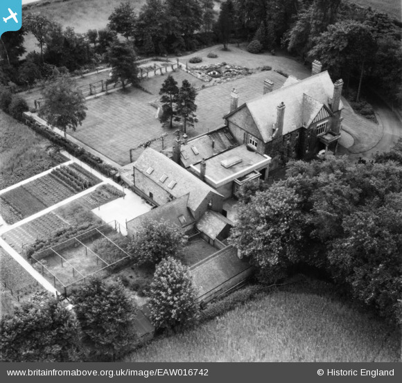
EAW016742 ENGLAND (1948). Linden Lodge, Polesworth, 1948
© Copyright OpenStreetMap contributors and licensed by the OpenStreetMap Foundation. 2026. Cartography is licensed as CC BY-SA.
Nearby Images (5)
EAW016742

EAW016743

EAW016744

EAW016746

EAW016745

Details
| Title | [EAW016742] Linden Lodge, Polesworth, 1948 |
| Reference | EAW016742 |
| Date | 23-June-1948 |
| Link | |
| Place name | POLESWORTH |
| Parish | POLESWORTH |
| District | |
| Country | ENGLAND |
| Easting / Northing | 427445, 303103 |
| Longitude / Latitude | -1.594514373647, 52.624641895315 |
| National Grid Reference | SK274031 |
Pins
Be the first to add a comment to this image!