
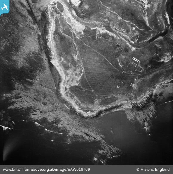
EAW016709 ENGLAND (1948). Long Nab, Scalby Ness Rocks, 1948
© Copyright OpenStreetMap contributors and licensed by the OpenStreetMap Foundation. 2026. Cartography is licensed as CC BY-SA.
Nearby Images (13)
EAW016709

EAW016702

EAW016705

EAW016703

EAW016701

EAW016708

EAW016707

EAW016704

EAW016706

EAW010306

EAW010304

EAW010303

EAW010305

Details
| Title | [EAW016709] Long Nab, Scalby Ness Rocks, 1948 |
| Reference | EAW016709 |
| Date | 23-June-1948 |
| Link | |
| Place name | SCALBY NESS ROCKS |
| Parish | NEWBY AND SCALBY |
| District | |
| Country | ENGLAND |
| Easting / Northing | 503637, 491037 |
| Longitude / Latitude | -0.4070961176315, 54.30425293789 |
| National Grid Reference | TA036910 |
Pins

Matt Aldred edob.mattaldred.com |
Thursday 11th of March 2021 12:23:53 PM | |
|
Matt Aldred edob.mattaldred.com |
Thursday 11th of March 2021 12:23:42 PM | |
|
Matt Aldred edob.mattaldred.com |
Thursday 11th of March 2021 12:23:29 PM | |

redmist |
Saturday 19th of October 2019 07:29:29 PM | |
|
redmist |
Saturday 19th of October 2019 07:29:15 PM | |
|
redmist |
Saturday 19th of October 2019 07:28:35 PM | |
|
redmist |
Saturday 19th of October 2019 07:27:44 PM |