
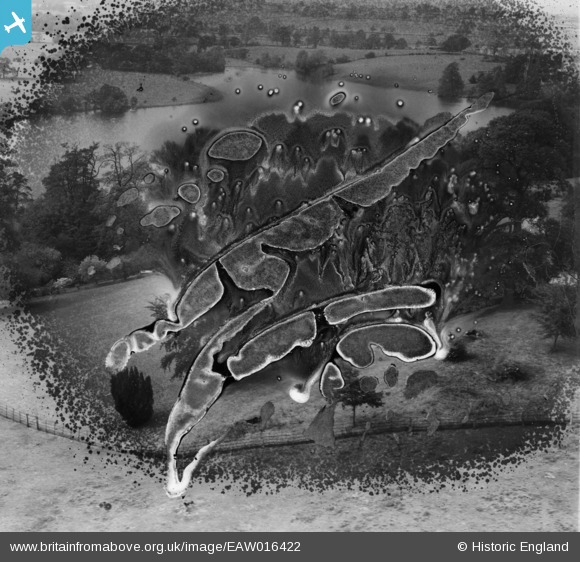
EAW016422 ENGLAND (1948). Big Mere, Marbury, 1948. This image has been produced from a damaged negative.
© Copyright OpenStreetMap contributors and licensed by the OpenStreetMap Foundation. 2026. Cartography is licensed as CC BY-SA.
Nearby Images (5)
EAW016422

EAW016423

EAW016425

EAW016421

EAW016429

Details
| Title | [EAW016422] Big Mere, Marbury, 1948. This image has been produced from a damaged negative. |
| Reference | EAW016422 |
| Date | 9-June-1948 |
| Link | |
| Place name | MARBURY |
| Parish | MARBURY CUM QUOISLEY |
| District | |
| Country | ENGLAND |
| Easting / Northing | 356164, 345313 |
| Longitude / Latitude | -2.6533051651142, 53.003030209818 |
| National Grid Reference | SJ562453 |
Pins
Be the first to add a comment to this image!