
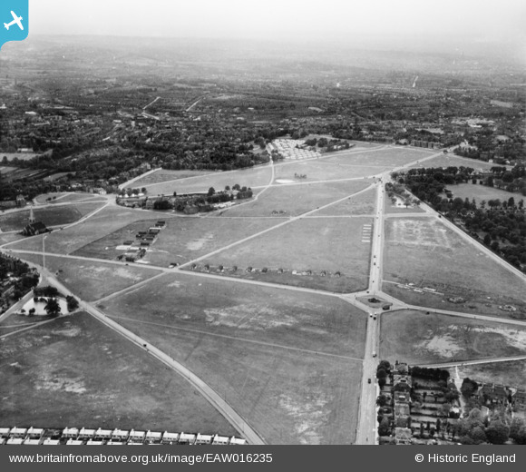
EAW016235 ENGLAND (1948). The heath, Blackheath, from the north-east, 1948
© Copyright OpenStreetMap contributors and licensed by the OpenStreetMap Foundation. 2026. Cartography is licensed as CC BY-SA.
Nearby Images (2)
EAW016235

EAW016234

Details
| Title | [EAW016235] The heath, Blackheath, from the north-east, 1948 |
| Reference | EAW016235 |
| Date | 8-June-1948 |
| Link | |
| Place name | BLACKHEATH |
| Parish | |
| District | |
| Country | ENGLAND |
| Easting / Northing | 539779, 176649 |
| Longitude / Latitude | 0.012746891862831, 51.471030438415 |
| National Grid Reference | TQ398766 |
Pins

Post-war prefabs |
Saturday 25th of September 2021 04:04:55 PM | |
|
Post-war prefabs |
Saturday 25th of September 2021 04:03:06 PM | |

Class31 |
Sunday 8th of May 2016 07:54:27 AM | |
|
Class31 |
Thursday 7th of August 2014 08:58:14 AM | |
|
Class31 |
Thursday 7th of August 2014 08:57:52 AM | |
|
Class31 |
Thursday 7th of August 2014 08:55:43 AM | |
 |
Class31 |
Thursday 7th of August 2014 07:37:17 AM |

Alan McFaden |
Saturday 4th of January 2014 11:15:23 AM |


User Comment Contributions

Shooter's Hill Road, Blackheath, 04/08/2014 |
Class31 |
Thursday 7th of August 2014 07:38:49 AM |