
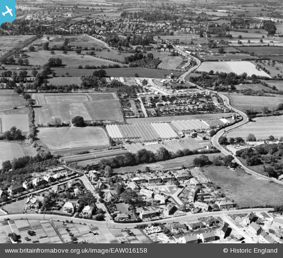
EAW016158 ENGLAND (1948). Malvern Tomatoes Ltd Tomatoland and the surrounding residential area, Great Malvern, 1948
© Copyright OpenStreetMap contributors and licensed by the OpenStreetMap Foundation. 2026. Cartography is licensed as CC BY-SA.
Nearby Images (8)
EAW016158

EAW016161

EAW016160

EAW016156

EAW016155
, Great Malvern, from the north, 1948. This image has been produced from a damaged negative.")
EAW016157

EAW016159

EAW016154
, Great Malvern, 1948. This image has been produced from a damaged negative.")
Details
| Title | [EAW016158] Malvern Tomatoes Ltd Tomatoland and the surrounding residential area, Great Malvern, 1948 |
| Reference | EAW016158 |
| Date | 21-May-1948 |
| Link | |
| Place name | GREAT MALVERN |
| Parish | MALVERN |
| District | |
| Country | ENGLAND |
| Easting / Northing | 378661, 246538 |
| Longitude / Latitude | -2.3116739634824, 52.116338126973 |
| National Grid Reference | SO787465 |
Pins

Flaps |
Saturday 11th of March 2023 09:03:20 AM | |
|
Post-war prefabs |
Monday 18th of November 2019 08:25:08 AM |